On Wednesday, February 9, 2010, we
took a field trip to Jean Lafitte National Historical Park and Preserve where
we observed the ecosystem along The
Bayou Coquille Trail which leads on heading of Southwest for almost a half
mile. There are at least six locations that the decking juts 30 - 60 feet out
into the swamp. These have informational plaques that describe the Native
Indians, wildlife, palmetto stands, water fowl and general topography. The
weather was sunny, but chilly with the temperature at about 36˚ F. We marked
three sites along the trail to observe water, soil, and biodiversity of the
area. Each of the three sites were different in appearance. The first site was
a marsh, the second was a cypress swamp, and the third was along the
Mississippi Barataria river tributary. We are compiling this information in
many different forms including; notes, charts, pictures, and even videos. All
of this information will go into a blog that we will create for the Jean
Lafitte National Historical Park and Preserve.
The information found in this site includes data that we gathered from the park itself, pictures we took, and a web-quest we made. 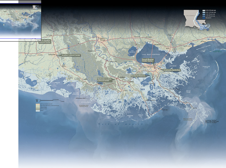 |
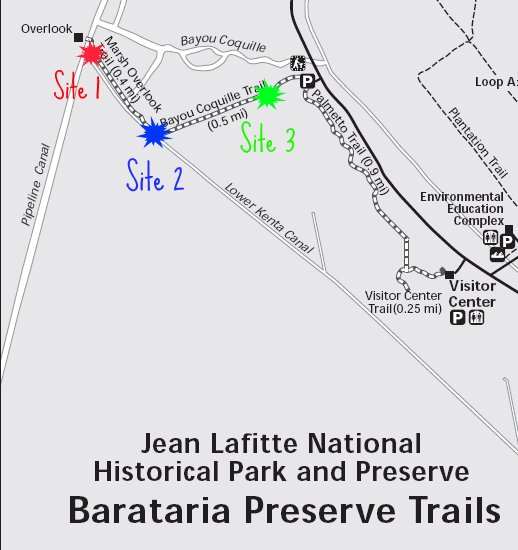 The map to the left is a map of the entire Barataria Tributary in southern Lousisiana. The map above is a map of our site's locations. Sarah Rosedahl's pictures of the field trip. Visit It!
|